
Hobbs ZIP Codes in Context
Several ZIP references are associated with Hobbs in City, County, federal, and geographic materials. They do not all describe ordinary street delivery or a neighborhood. The table keeps the sources in their proper roles. Use it as a research guide, then validate the complete address with USPS before treating any ZIP as a delivery answer.
| ZIP | Areas covered | Post office reference | Source-based note |
|---|---|---|---|
| 88240 | Primary Hobbs city delivery reference | Hobbs delivery reference | City Hall uses it; validate the full address and unit with USPS. |
| 88241 | Lea County Airports PO Box reference | PO Box 1106, Hobbs | A PO Box reference, not proof of street delivery. |
| 88242 | Hobbs-associated ZIP and Census reference | Hobbs-associated reference | No official neighborhood boundary was located; validate through USPS. |
| 88244 | Historic correctional-facility association and Census ZCTA | Facility-associated reference | Do not infer residential service or current custody from this label. |
88243 is deliberately omitted as a delivery answer. Research found an older federal address-table association but no current USPS or Census confirmation. A code in an older list should never replace a live USPS result for a particular Hobbs address.
Note: ZIP Code Tabulation Areas are Census geographies and do not map one-to-one to post-office delivery territories.
Hobbs ZIP Directory: 88240
88240 is the primary Hobbs city delivery reference identified in the research. That is a useful starting point, not a substitute for an exact-address lookup. Apartments, units, directional streets, rural routes, and changing delivery arrangements can make a city-level ZIP assumption incomplete. Use the USPS ZIP Code Lookup with the complete mailing address or city and state to verify the delivery ZIP shown by the postal authority.
Do not replace a postal lookup with the Assessor’s Mailing ZIP search. County tax records use that field to identify where correspondence is sent. A property may have a Hobbs situs address, a different tax-mail address, and a delivery presentation that needs its own USPS check. Keeping each field in its own column makes later record comparisons more defensible.
Hobbs ZIP References Need Caution
88241 is documented on a Lea County Airports PO Box, so it is a box reference rather than evidence that a Hobbs street receives mail under that ZIP. 88242 has a Hobbs-associated ZIP/ZCTA reference, but research found no official neighborhood boundary attached to it. 88244 is tied in the research to a historic Lea County Correctional Facility address and a Census ZCTA. It should not be casually described as an ordinary residential ZIP or used to infer present custody information.
These distinctions are local geography, not minor formatting details. A post-office name can appear on a rural, facility, or PO Box address without placing the point inside Hobbs city limits. For a city-line question, use City map or planning material. For a parcel-location question, use the Assessor and recorded description. For delivery, use USPS. For a 911 location, use the assigned emergency address.
Hobbs Tax-Mail Search Fields
Lea County Assessor LiveWeb has a Mailing ZIP field, but it searches a tax correspondence field rather than a physical delivery ZIP. It can help narrow the parcel roll when that is the correct research question. Follow any result with the situs address, parcel code, and legal description so the returned tax record is not misread as a postal-service finding.
| LiveWeb field | Format or choice | What it helps find | ZIP limitation |
|---|---|---|---|
| Mailing ZIP | Tax-mail ZIP | Parcels sharing a tax correspondence field | Not a physical ZIP search or USPS validation |
| Physical Address | House number and street separately | A particular parcel situs | Address formatting can vary from postal form |
| Property Code | County parcel identifier | The stable property record after a hit | It does not identify a mail-delivery route |
| Owner Name | Surname first; percent wildcard permitted | Tests a name returned by a parcel | Owner and mailing fields do not prove occupancy |
| Subdivision or TRS | Subdivision, township, range, section | Land-description context | Neither supplies a ZIP boundary |
The Assessor reports daily updates or corrections and directs those needing official copies to the County. Use this portal to discover and compare tax-roll fields. Use USPS to answer delivery, and use the recorded instrument or plat when the question is legal parcel location.
Hobbs ZIP Code Research Workflow
A ZIP-based search works only when each step uses the source that actually accepts the requested information. No Hobbs portal documented in the research produces a public list of people by delivery ZIP. The workflow below narrows a postal or parcel question without turning a broad code into a resident roster.
- Enter the full mailing address in the USPS lookup and save the delivery result with the date checked.
- If a tax-record question remains, use the Assessor’s Mailing ZIP field, then open each parcel hit and compare its situs address and parcel code.
- For map context, search the known location or parcel code in Lea County Portico GIS. Portico has Location and parcel sources, not a ZIP source.
- When the question has narrowed to a property address, use the Hobbs street directory for the address-to-parcel, Clerk, and City-file sequence.
- For a new or rural address, follow the County Addressing process before assuming a delivery arrangement.
That order prevents a tax-mail filter from being mistaken for a postal boundary. It also keeps a map label from being read as an official city-limit conclusion.
Hobbs ZIP Records and Voter Limits
The New Mexico Voter Portal is an individual registration-status and voting-place tool. It is not a public ZIP browse, address roster, or surname list. The Lea County Clerk is the local election administrator for process questions, while the Secretary of State’s separate voter-data request process governs authorized statewide data access.
That authorized route may include voter name, address, consented phone number, birth year, party, county, precinct, district, and voter history, subject to its form and permitted purpose. It is not a reason to treat voter data as confirmation that a person currently lives at an address. Protected telephone fields, full birth date, Social Security information, registration identifiers, ballot choices, and protected-address programs have their own limits.
See the Voter Portal source for the individual status route and voting-place information.
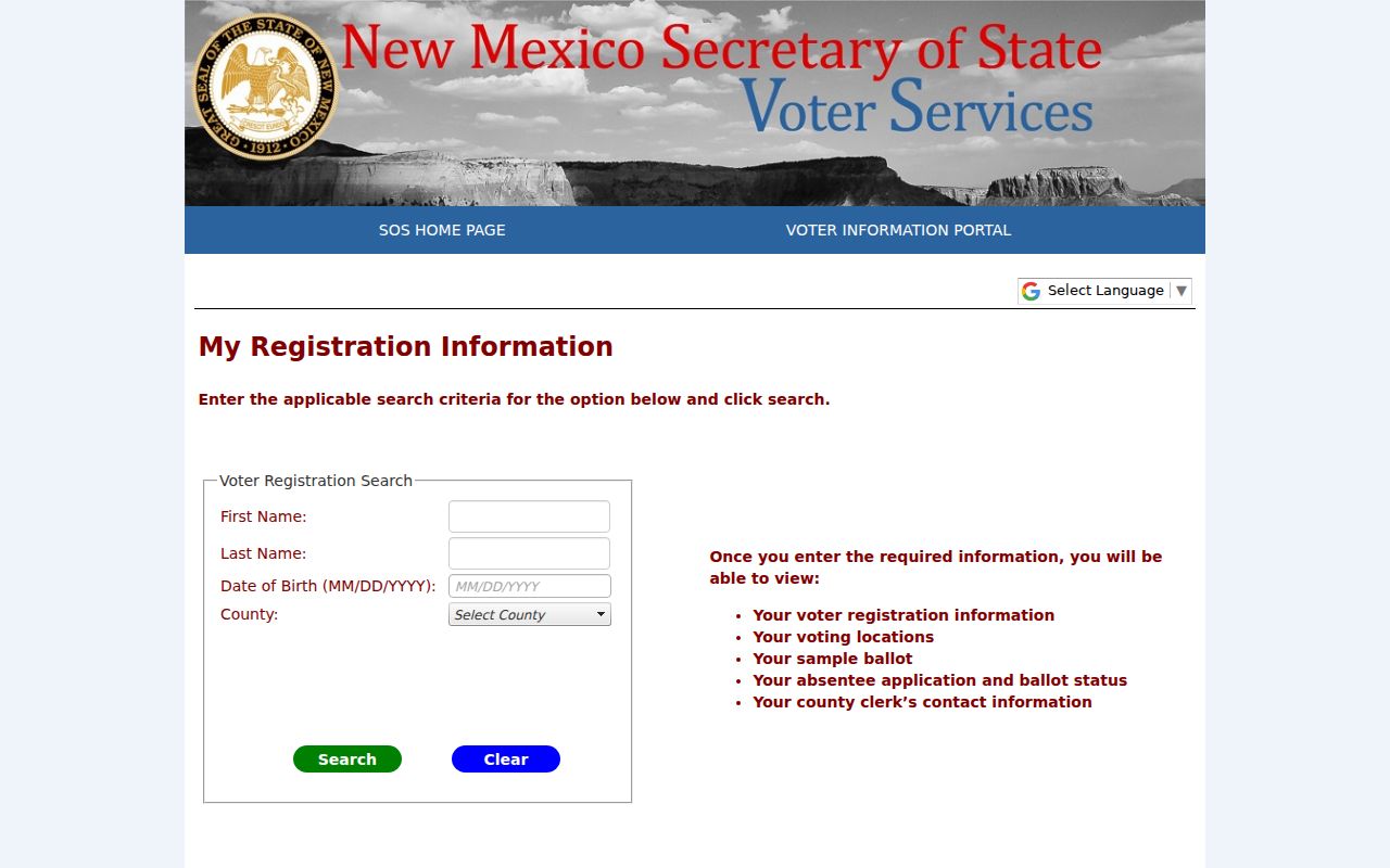
The portal’s individual prompts are a privacy boundary: it should not be repurposed into a ZIP-by-ZIP list of people.
Hobbs ZIP Boundaries and City Limits
ZIP geography, city boundaries, parcel lines, Census ZCTAs, 911 jurisdiction, and USPS delivery routes are drawn for different purposes. They can cross one another. A Hobbs post-office label may occur on a rural, facility, or PO Box address without proving the location is inside City limits. It can also occur beside a parcel that is administered through a county property system.
Use the authority that matches the conclusion. City planning or map materials are appropriate for city limits, while the Assessor and a recorded legal description serve parcel location. USPS governs delivery. County Addressing governs the emergency-address assignment process. The same address can therefore have several valid labels, each answering a different question.
Note: A ZIP label is useful for delivery research, but it is not a legal boundary description or a city-annexation record.
Hobbs 911 and USPS Validation
Lea County Addressing explains the 911 process for new construction and covered County or city-limit requests. An applicant supplies the location and supporting property information. Addressing staff plot the point, IT configures the address, and the office returns notice by paper, mail, email, or fax. The supporting materials can include a warranty deed, identification, or site plan, depending on the request.
That process comes before postal delivery validation for many rural or new-construction questions. County Addressing lists a city-limit request path, but research did not establish that it assigns ordinary Hobbs city street numbers. Confirm a city-specific numbering question with Hobbs Planning or Engineering, then use USPS to validate the completed mailing address.
See the Lea County Addressing source for the published workflow, contacts, and required supporting materials.
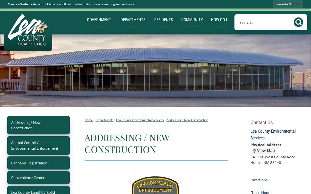
The County process shows why an assigned 911 address and a USPS delivery answer should be recorded as separate, sequential findings.
Hobbs ZIP Terms Defined
Postal terms have narrow meanings. Using them precisely keeps a Hobbs ZIP directory from overstating what a record shows.
- ZIP
- A Postal Service routing label for delivery research, not a municipal boundary or parcel identifier.
- ZIP+4
- An added routing detail used for a more specific delivery segment. Confirm it from the complete address in USPS lookup.
- PO Box ZIP
- A code used with post-office box mail. It does not by itself prove street delivery.
- Unique ZIP
- A postal designation that may serve one organization when USPS assigns one. A facility reference should not be presumed unique without USPS confirmation.
- Carrier route
- A postal delivery grouping used to organize delivery. It is not a neighborhood or city-limit line.
Hobbs Myth: ZIP Is a Boundary
A mailing ZIP, a Census geography, and an assigned 911 address are related but not interchangeable. The County Mailing ZIP filter is about tax correspondence. Portico maps parcel information by location and parcel sources, not by ZIP. The Voter Portal is an individual status tool. USPS validates delivery. A result is more useful when it keeps that source label attached.
This distinction is especially important for the Hobbs-associated references outside the primary city delivery label. A PO Box reference does not draw a neighborhood. A facility-associated reference does not establish ordinary service. A ZIP/ZCTA reference does not create an official neighborhood boundary.
Hobbs Insider Tip: Validate Last
Save the parcel code and legal description while researching property, but wait until the complete mailing address is assembled before treating a ZIP as final. That simple order avoids a common Hobbs error: copying the tax-mail ZIP from an assessment record into a delivery answer. The parcel record and the postal lookup can both be correct while describing different administrative facts.
For a City file, provide the physical address and a narrow date range. For a Clerk document, provide the parcel-supported recording lead. For mail delivery, provide the full address to USPS. Matching the identifier to the custodian makes each request shorter and more accurate.