
Hobbs Neighbors Block Records
Public records around a Hobbs address are parcel and record trails, not a verified roster of everyone nearby. The map establishes a spatial relationship. The Assessor and Portico fields can provide an owner, mailing, situs, and parcel lead. The Clerk then provides the legal instrument or plat trail. City departments may hold a narrowly requested improvement, subdivision, annexation, or right-of-way file. Each answer has a different boundary, so the record should be described as a lead to verify rather than a claim about who lives on the block.
| Source | Block-level value | Access route |
|---|---|---|
| Portico GIS | Subject parcel, connected polygons, map tools, and parcel-report context | Public map; open each parcel separately |
| Lea County Assessor | Owner, mailing, situs, property code, and subdivision lead | LiveWeb search and county office confirmation |
| Lea County Clerk | Recorded deed, plat, reception, book/page, and legal-description trail | LiveWeb index, counter, or copy request |
| Hobbs Building Safety | Available permit, inspection, plan-review, or final-status file | Narrow departmental request; records and exceptions control access |
| Hobbs Planning | Subdivision, annexation, and right-of-way context | Departmental records route and City Planning source |
| Voter routes | Personal status or authorized election-data process | Self-status portal or separate SOS authorization |
There is no official Hobbs neighborhood-association directory in the reviewed research. Do not turn a subdivision name, plat label, tax recipient, or voter field into a neighborhood-membership list. The full records chain for a named street belongs with the Hobbs street directory; a neighbor question stays focused on the immediate parcels around one address.
Mapping a Hobbs Block by Parcel
Lea County Portico GIS is the transparent way to examine the parcels around a subject address. It offers Owner Number, Owner Name, Location, Parcel Code, Subdivisions, and Sections or TRS sources, along with map navigation, layers, measurement, drawing, printing, and a parcel report. The configured result list is limited by its source, so an empty suggestion should be broadened gradually rather than treated as a final answer.
- Enter the subject address through Location, then click the returned parcel polygon.
- Record the parcel code, legal description, subdivision, owner number, and any displayed recording reference.
- Pan or zoom to the polygons that connect to the subject parcel, then click each one as a separate inspection.
- Compare each record with the Assessor’s situs and mailing fields, keeping those fields in their own roles.
- Use the Clerk index for a deed or plat when the question concerns a legal boundary or the lot’s recorded origin.
The flow is address → subject polygon → each connected polygon → parcel identifier → Clerk plat or deed. Portico does not produce one bulk neighbor list. Every nearby parcel needs its own review, and map adjacency by itself says nothing about personal relationships.
Hobbs Parcel Records in Portico
Portico provides the spatial layer, while the Lea County Assessor and its LiveWeb search provide the tax-roll path. LiveWeb separates Owner Number, Owner Name, Mailing ZIP Code, Property Code, Physical Address, Subdivision, and Township/Range/Section. Its physical-address form separates house number and street, and the owner-name instructions use surname first with a percent-sign wildcard option. These are search aids, not a title opinion.
On a returned parcel, keep the map fields distinct: situs locates taxable real property, mailing fields direct tax correspondence, and recording fields point to a Clerk source. The public display can also show assessment characteristics and values. None of those fields establishes utility service, personal presence, a complete chain of title, or an unrecorded agreement. A recorded instrument, plat, or City file is the next source when a conclusion needs support.
[INSIDER TIP] Save the map date, parcel code, and legal description before requesting a Hobbs plat or permit file. Street format and assessor descriptions can change, while that identifier bundle makes a custodian search more precise.
Hobbs Mailing Field Limits
A different mailing address in the Assessor or Portico record does not prove a lot is vacant or that anyone has moved. Mailing and situs serve different administrative roles. Likewise, a parcel owner may not be the current occupant, and an address that appears on a dated document needs its date carried forward with the result. Use the parcel map to identify geography, then use the appropriate custodian for the document trail.
The Lea County Clerk is the legal-record route for deeds and recorded plats. A plat can clarify lot, block, subdivision, and legal-description details, while a deed should be checked by reception, book/page, document type, and date. The Clerk’s scanned grantor/grantee index covers 1917 through 1981, which is an early-record lead, not a shortcut to a complete present-day answer.
[MYTH] An online parcel mailing address is not a present-residence finding. It is a tax-record field that needs careful, date-aware interpretation.
Note: A map result should be retained with its source and search date because parcel displays and record corrections can change.
Hobbs Planning for Neighbor Context
City Planning handles subdivision, annexation, and right-of-way matters that can explain the local layout around a Hobbs block. The City states that it has not adopted a zoning ordinance regulating land uses or their location. That does not eliminate plat, permit, subdivision, utility, or right-of-way records. It means the request should name the concrete record needed instead of asking only for a zoning answer.
The Hobbs Planning page identifies the City’s planning role for subdivision and annexation questions.
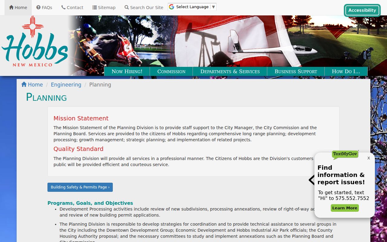
Planning provides the local context for a block, while county parcel and Clerk records establish the separate parcel and recorded-document trails.
For an improvement record, Hobbs Building Safety accepts permit applications, conducts plan review and inspections, and works with code enforcement. No public person- or address-indexed permit portal was located. Ask for a specified address, legal description or permit number, a narrow date range, and a defined record type. Availability depends on the record and any applicable exception.
Hobbs Neighborhood Association Gap
No official Hobbs neighborhood-association directory or roster was found. That gap should be stated plainly. A subdivision name may help locate a plat or Planning file, but it is not evidence that an association exists or that it has a public membership list. Use an actual City department for the related record request instead of assuming a neighborhood contact directory is available.
Hobbs City Planning
Subdivision, annexation, and right-of-way source for block-layout questions.
575-397-9232
Hobbs Building Safety
Permit, plan-review, inspection, and code-enforcement request route.
575-391-8158
Hobbs Public Library can add dated local-history, newspaper, and microfilm context when a block question is historical, but its collections do not supply a current association roster.
Hobbs Voter Privacy Boundaries
The New Mexico Voter Portal is for an individual to check personal registration and voting-place information. It is not an address, surname, or ZIP browsing tool, and it is not a way to create a list of nearby residents. The Secretary of State’s separate authorization process has its own permitted purposes, formats, fees, and restrictions. The County Clerk is the local election administrator for process questions.
The Secretary of State’s voter privacy guidance explains the line between public data and protected information.
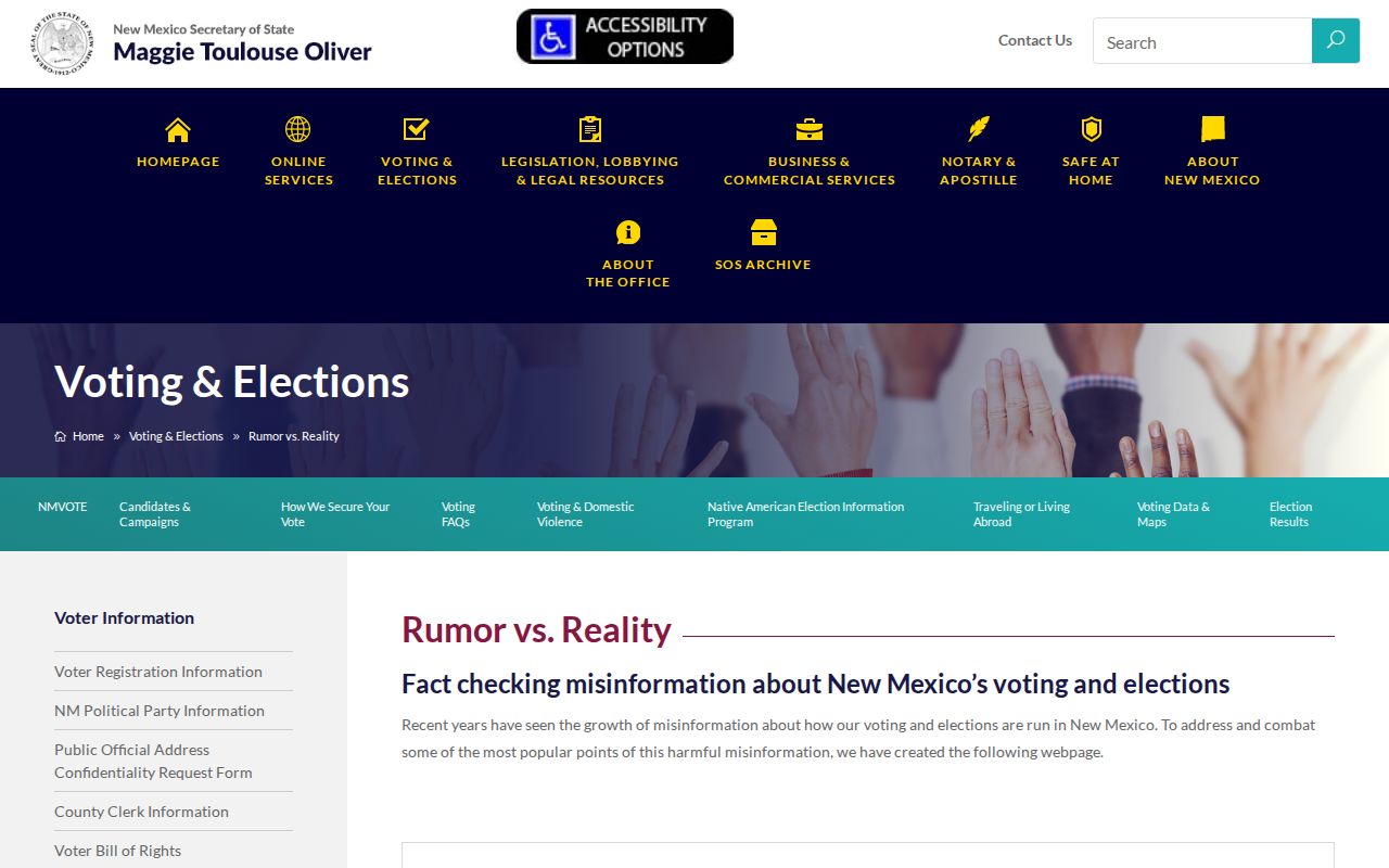
Full birth date, registration identifier, ballot choices, and some address or telephone information are protected. A protected voter field is not a gap to work around.
The Secretary of State reported a July 14, 2026 federal-court dismissal involving a request for private voter data. The enduring procedural point is simple: use the authorized process and respect the protected fields that the election system does not disclose.
Hobbs Neighbor Context Limits
Block research also needs geographic discipline. A Hobbs post-office or facility reference does not establish who is nearby or where someone is now. For example, the New Mexico Corrections Department reported that state use of the Lea County Correctional Facility ended on June 30, 2025. A historic facility address is not a current custody finding, and it does not belong in an inference about nearby parcels.
NMCD’s correctional-facility update records the end of state use of the facility.
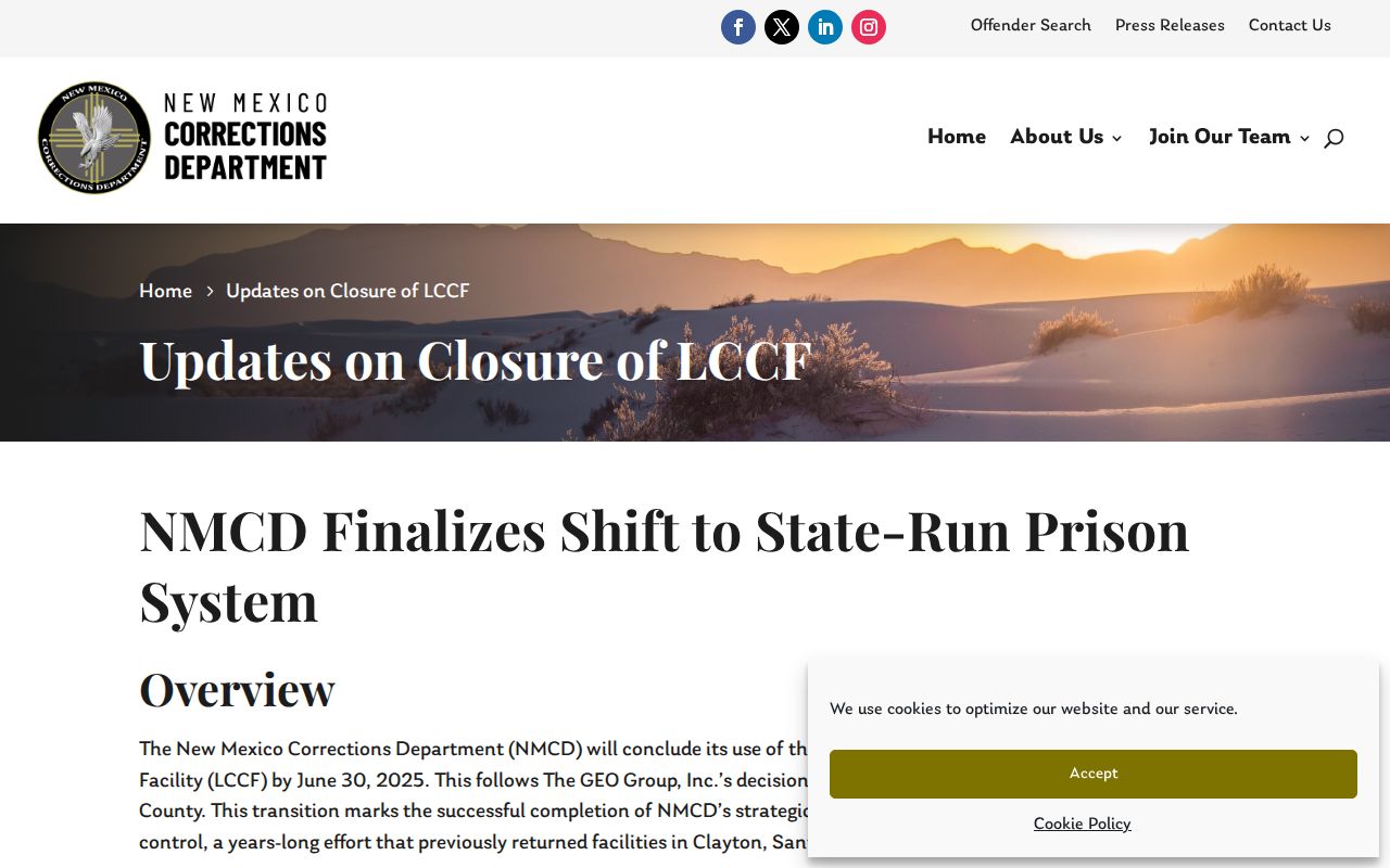
The update is a reminder to verify the source date and scope before connecting a local address reference to a present situation.
Comparing Hobbs Neighbor Sources
Official records identify the relationship they were built to record. A parcel map shows spatial context. A tax roll shows assessment fields. A Clerk instrument records a legal filing. Commercial neighbor-search categories may combine data from many sources, but they do not replace the custodian’s document, may omit dates and limits, and should never be treated as a substitute for an official record trail.
| Source category | Best use | Key limit |
|---|---|---|
| Official parcel and map sources | Identify the subject parcel and its mapped relationship to adjoining lots | They do not establish present presence or full title |
| Clerk-record sources | Confirm an instrument, plat, reception, or legal-description lead | An index is not the same as a document or certified copy |
| Commercial directory category | Compare a possible lead with dated official sources | Accuracy, source dates, and access rules may be unclear |
Choose the record by the question. For a physical relationship, use Portico. For a legal lot history, use the Clerk. For subdivision or annexation context, use Planning. This keeps Hobbs neighbor research tied to the office with custody.
Hobbs Neighbor Privacy Limits
New Mexico’s practical privacy routes are record specific. A person can seek an Assessor correction, use a voter-data restriction where law allows, or ask the record custodian about a lawful redaction. The Safe at Home program provides a substitute address and mail forwarding for eligible survivors. It is designed to keep an actual location from public records where the law applies.
Do not promise that one request erases recorded instruments, court records, or archived material. Instead, contact the custodian, describe the precise record, and accept the applicable access limit. Public availability does not grant permission to monitor, harass, impersonate, or expose another person.
Lawful use. Use Hobbs neighbor records for personal, lawful parcel and civic research. Do not use a map, mailing field, or record lead to stalk, harass, intimidate, or harm anyone.