
Hobbs Street Directory Address Workflow
A street-by-street search in Hobbs starts with a normalized address: house number, directional prefix, street name and type, unit when applicable, city, state, and claimed ZIP. Put that address into Lea County Assessor LiveWeb as a physical address and into Portico GIS as a location. A successful parcel result can supply the situs address, parcel code, legal description, subdivision, owner number, and recording lead. A failed result deserves spelling, direction, and suffix checks before it is treated as absent.
The next steps are a chain of separate record types, not a single answer about a household. The Assessor and Portico identify a taxable parcel. The Clerk’s index identifies a recorded instrument. The voter routes serve personal status or authorized data requests, not a public street roster. Library holdings can establish dated address context. Each result should be logged with the source, search wording, and date searched.
- Search the physical address in Assessor LiveWeb. Save the parcel code, situs spelling, legal description, subdivision, owner number, and any recording reference returned.
- Run the same location in Portico GIS, click the parcel polygon, and compare the mapped record. Pan and inspect adjoining parcels one at a time when spatial context matters.
- Use the recording lead in Lea County Clerk LiveWeb. Search by reception number when available, or use a grantor or grantee name, date range, and document-type choice.
- For an individual’s own registration or voting-place question, use the state individual-status portal. It is not designed to list people along a street.
- For an earlier address association, ask Hobbs Public Library staff whether the relevant city-directory issue or microfilm source is available, then verify the dated finding against a primary record.
Note: A parcel hit is a strong property lead, but it is not proof of current occupancy or delivery service.
Hobbs Assessor Searches by Street
The Lea County Assessor publishes public parcel and tax-roll access through LiveWeb. Its forms deliberately separate a physical location from a mailing ZIP. The physical-address search splits house number from street. The owner-name form expects surname first and accepts a percent sign as a wildcard. That distinction matters when a directional prefix, abbreviated suffix, or tax-mail record does not match the postal form of a Hobbs address.
| LiveWeb field | How to enter it | Street-search value | Limit to keep in mind |
|---|---|---|---|
| Physical Address | House number and street in separate fields | Direct first check for a situs address | Formatting and directions can differ |
| Owner Name | Surname first; percent wildcard accepted | Tests a name returned by a parcel | An owner is not automatically an occupant |
| Mailing ZIP Code | Tax-mail ZIP field | Narrows tax correspondence records | It is not a physical or USPS delivery ZIP |
| Property Code | Parcel identifier | More stable than a display address | Confirm official copies with the County |
| Subdivision and TRS | Subdivision, township, range, section | Adds land-description context | Do not substitute a subdivision name for a legal description |
LiveWeb says its data are updated or corrected daily, and the County directs requests for official copies and corrections to the office. Treat the portal as a discovery tool. For an address that returns a parcel, capture the fields before changing search terms. For an address that does not return one, record the exact form and syntax used, then try the map or ask the Assessor about the official record.
Hobbs Streets in Portico GIS
Portico GIS, the County geographic information system, is the map complement to the Assessor’s forms. Its named search sources are Owner Number, Owner Name, Location, Parcel Code, Subdivisions, and Sections. A location search can put a Hobbs street on the map, while a parcel click exposes the mapped record and helps compare the subject parcel with nearby polygons. The tool set includes layers, a legend, basemap selection, measurement, printing, drawing, an attribute table, coordinates, parcel filtering, and a parcel report.
Search suggestions are constrained by the source configuration, commonly six results and up to ten owner-name suggestions. Broaden incrementally rather than treating a short result list as conclusive. A map relationship establishes geographic adjacency only. It does not establish a shared owner, a shared mailing recipient, or who may be at either address. The recorded plat or deed is the stronger source for lot origin and legal description.
City Building Safety documents permit, inspection, plan-review, and code-enforcement access for Hobbs. It has no public name, parcel, or street permit-search portal. That makes Portico useful for collecting a precise physical address and parcel context before a targeted City request.
Hobbs Street Directory Record Coverage
The following records connect to an address in different ways. A Hobbs street directory search is strongest when it states which relationship was found: parcel owner, tax-mail recipient, recorded party, dated directory listing, or agency file. None of these rows turns a property record into a confirmed present-residence record.
| Address-keyed record | Custodian | What it can establish | Access route |
|---|---|---|---|
| Parcel and tax-roll record | Lea County Assessor | Situs, parcel code, owner and mailing fields | LiveWeb, then County office for copies or corrections |
| Mapped parcel record | Lea County Portico GIS | Parcel geometry, map context, recorded-field leads | Public map, click each parcel separately |
| Recorded deed, plat, lease, or mortgage | Lea County Clerk | Recorded parties, date, reception or book/page lead | LiveWeb index, then Clerk for document questions |
| Permit, inspection, or plan file | Hobbs Building Safety | Departmental file for a stated address and period | Department request or written IPRA request |
| Street-address history lead | Hobbs Public Library | Dated city-directory and microfilm context | Reference staff, catalogue, and in-library materials |
The parcel code connects the tax-roll and GIS records to an address question. A reception number or book/page lead then connects that property trail to the Clerk. The street name alone is less stable because abbreviations, unit formatting, and directions may vary across systems. For the longer historical directory trail, the holdings themselves belong with the Hobbs city directories rather than a modern property result.
Note: Keep the source date beside every address finding, because current parcel fields cannot be read backward as historical facts.
Hobbs Deed Leads Along Streets
The Lea County Clerk is the document custodian for deeds, mortgages, oil-and-gas leases, powers of attorney, marriage records, probate proceedings, and other local files. On LiveWeb, a reception number can be searched directly, while grantor and grantee searches use last-name-first wording with an optional date and document type. Book/Page has its own route. If the parcel record supplies a reception, book, or page reference, use that specific lead before attempting a broad name search.
The Clerk also reports that scanned grantor/grantee index books cover 1917 through 1981. That index is a documented bridge for early Lea County recording research, not a promise that every image is online or complete. A deed is a recorded instrument, and its parties may identify a transaction rather than a present connection to the property. Ask the Clerk whether a plain or certified copy is needed after recording date, document type, and reception number are identified.
For plats, subdivision context, annexation, or right-of-way materials, contact Hobbs Planning for the relevant municipal file and use the Clerk’s recorded plat or instrument to verify the legal description. The City states that it has not adopted a zoning ordinance regulating land use or location, so a request for the concrete plat, subdivision, permit, or right-of-way record is more useful than a generic zoning request.
Hobbs Permit Files by Address
Building Safety accepts building, electrical, mechanical, and plumbing permit applications, performs plan review and inspections, and works with code enforcement. Its public materials provide applications and contact information, but research located no public Hobbs address-indexed permit, inspection, code-case, or contractor database. Begin with Building Safety for a specific file. Give the physical address, legal description or permit number, a narrow date range, and the particular items sought.
A focused request can ask for a permit application, issued permit, inspection log, certificate of occupancy, plan-review correspondence, and final status. If the department cannot provide the record through its ordinary route, use the New Mexico Attorney General’s IPRA guidance to prepare a written request for the City custodian. New Mexico’s Inspection of Public Records Act process depends on reasonable particularity and does not require an agency to create a new analysis or list.
Source context matters here: City manager reports describe aggregate permit activity, not a searchable address file. A no-result from an online search is therefore not evidence that a Hobbs permit record does not exist.
See the City Building Safety source page for the department that handles permits, plan review, inspections, and code-enforcement access.
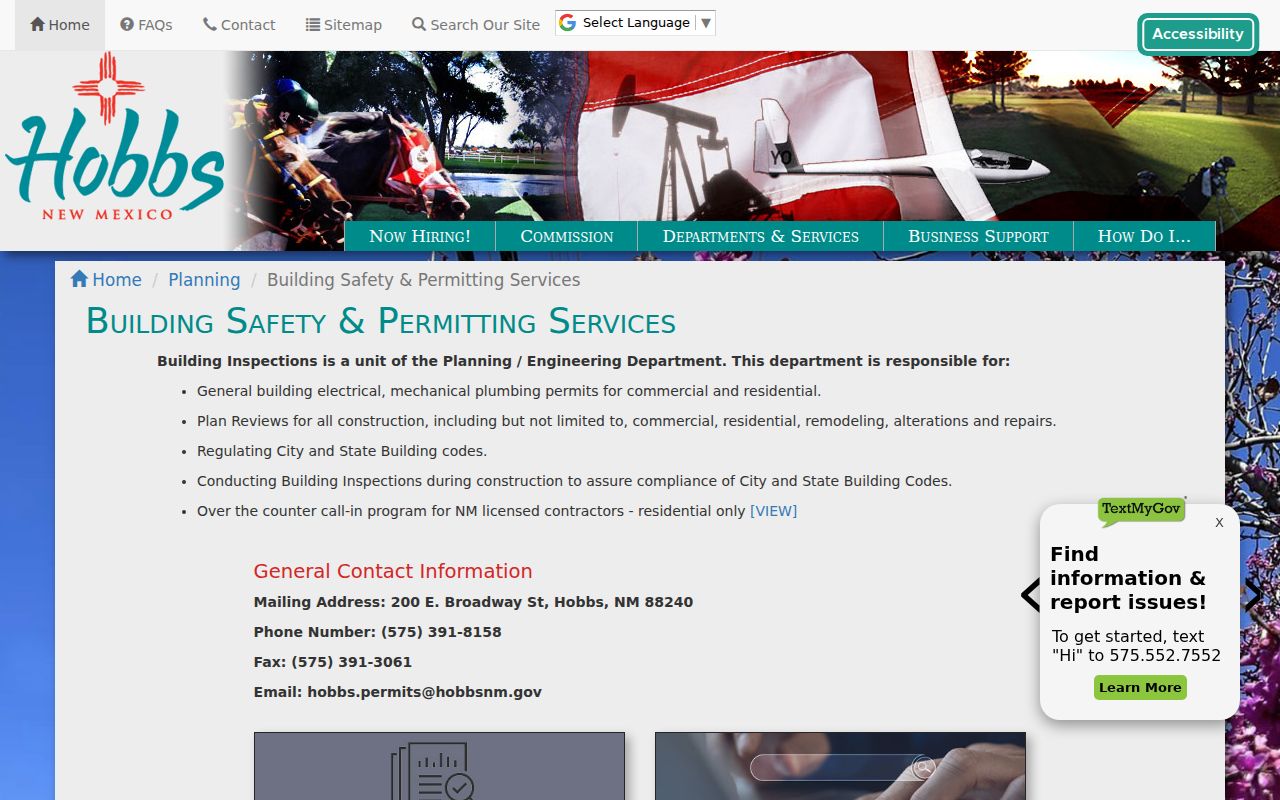
Because this City route is departmental rather than a public address portal, the parcel code and a narrow request period make the file search more precise.
Hobbs Street Records Have Dates
Lea County was formed in 1917, which sets a practical beginning for the local county recording trail. The Clerk’s scanned index begins that year and continues through 1981. Hobbs Public Library catalogue entries identify city-directory leads for 1938 to 1941, a 1939-onward Polk directory lead, and 2013 to 2016 entries. These sources do not carry the same kind of evidence. A recording index can point to a legal transaction; a directory can place a household or address in a dated publication; a parcel map identifies a place.
No authoritative citywide Hobbs index of address changes, street renumbering, or annexation years was located. An older address should therefore be searched as written, with directional and street-suffix variants, then checked against the parcel code, legal description, and dated source. Do not infer continuity from a modern map label.
Use the Clerk LiveWeb source to inspect its recording and Scanned Index routes before asking the office about a specific historical instrument.
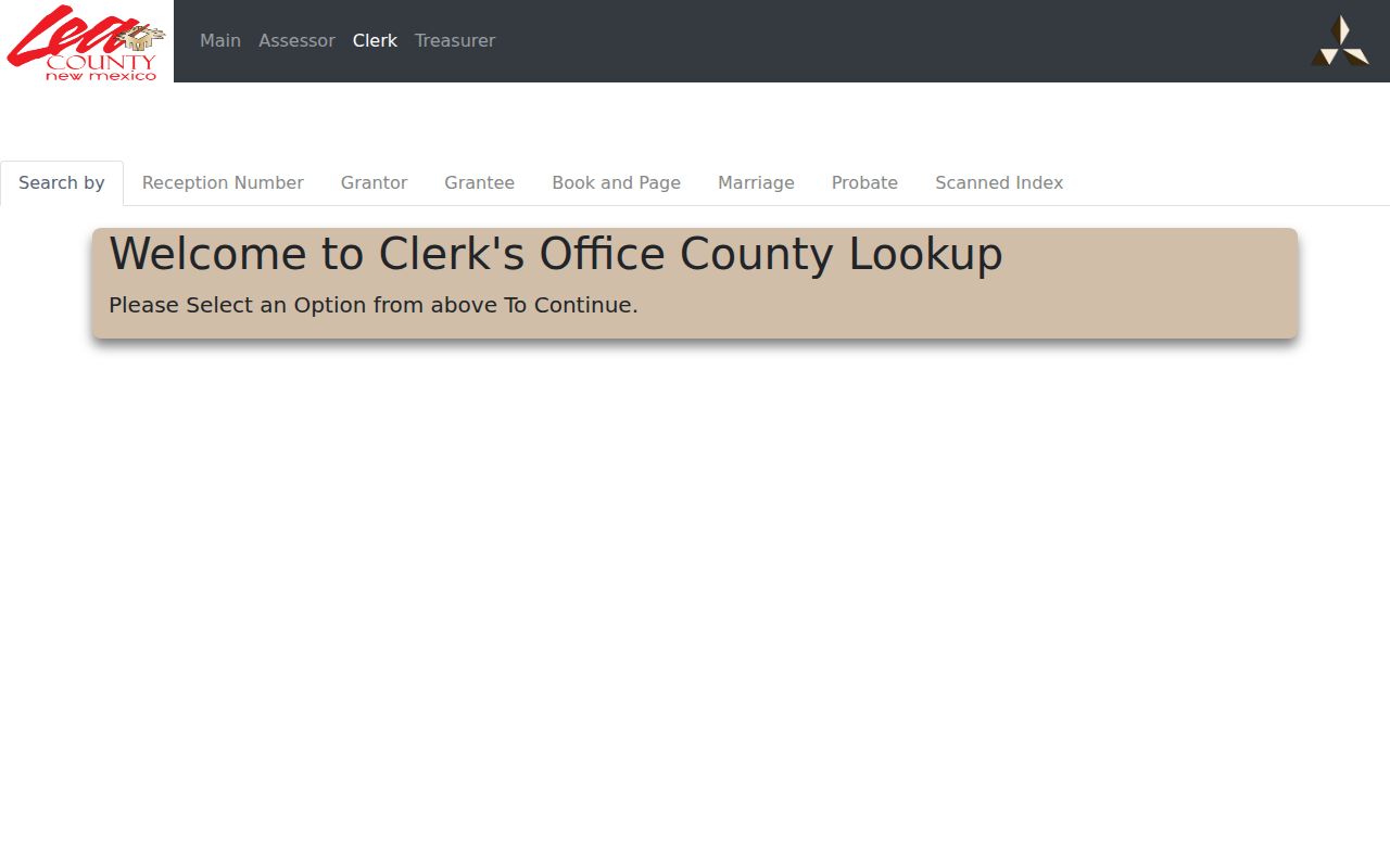
The Clerk interface supports a document trail from a parcel identifier, while a library directory remains the better source for dated household context.
Hobbs Address Delivery Checks
Lea County Addressing supplies a distinct 911-address process for new construction and covered county or city-limit requests. The office asks for location and property support, plots the point, has IT configure the address, and returns the assignment by paper, mail, email, or fax. Depending on the request, it calls for a warranty deed, identification, or site plan. Its published process does not assign ordinary Hobbs street-numbering authority, so confirm a city-specific question with Hobbs Planning or Engineering.
After the physical address is assigned or checked, use the USPS ZIP Code Lookup with the complete mailing address to validate delivery. USPS is the delivery authority. The Assessor’s Mailing ZIP field shows tax correspondence, not a postal conclusion. For ZIP-specific interpretation, use the Hobbs ZIP directory after the full address has been validated.
Note: A mapped point, a 911 assignment, and a postal delivery result answer different questions and should remain separately labeled.
Hobbs Street Terms Defined
Address records use a few terms that need to stay distinct when Hobbs sources are compared.
- Parcel
- A taxable piece of real property identified by a county parcel code and mapped boundaries.
- Situs address
- The physical location used on a property record. It can differ from the tax mailing address and postal formatting.
- Plat
- A recorded map that describes a subdivision, lot, block, easement, or related land layout.
- TRS
- Township, range, and section, a land-description method used in County property searches.
- Criss-cross directory
- An address-arranged directory that can supply dated household context when a verified local volume contains that arrangement.
- Reception number
- The Clerk’s identifying number for a recorded instrument, useful for finding the document path.
Hobbs research did not locate an authoritative separately labeled reverse or criss-cross collection online. Ask library staff about the arrangement inside a particular city-directory volume instead of assuming every issue offers an address section.
Hobbs Insider Tip: Three Identifiers
Before calling a Hobbs office, save the parcel code, legal description, and Clerk reception number when those fields are available. That three-part bundle links the mapped parcel, the county assessment record, and the recorded-document trail more reliably than a street name alone. It also helps when a street direction, unit number, or display format differs from one system to another.
Portico can provide the parcel and recording leads after an address search and map click. The Clerk then supplies the instrument route. A City file request can use the physical address and legal description together. This is a practical way to narrow a request without claiming that one database answers every Hobbs street question.
Hobbs Myth: Mailing Is Not Presence
A tax mailing address is not a finding that a person currently lives at the property. Assessor and Portico records deliberately separate owner, care-of, mailing, and situs components. A mailing ZIP also cannot substitute for the full-address USPS delivery result. Similarly, a historic directory entry is evidence of a dated publication entry, not a live address confirmation.
Use the field that matches the question. The situs field helps locate assessed real property. The mailing field identifies tax correspondence. The Clerk’s recording data identifies a document lead. The City file may show a permit or inspection record. Keeping those roles separate prevents a street search from overstating what public records establish.
Hobbs Street Directory Limits
No single public Hobbs source lists every person who may be associated with an address. Assessor data can be stale or show tax-mail information. Portico is a spatial research tool, not evidence of title. Clerk indexes point to recorded instruments, not every private agreement. The Voter Portal is for individual status and voting-place information, while protected voter fields and protected addresses remain outside ordinary disclosure. A missing online result may mean a record belongs with a department, a clerk, or a restricted program.
Lawful use. Use Hobbs address records for lawful personal research, property context, family history, or civic questions. Never use a record or address lead to stalk, harass, intimidate, or harm anyone.
For a correction, start with the custodian that owns the field. The Assessor handles county assessment records, the Clerk handles its recorded and election files, City departments handle municipal records, and the Secretary of State handles its voter and Safe at Home programs. A responsible street directory keeps the source and its limits attached to every result.